


Territory


Territory
In international politics, a territory is usually a geographic area which has not been granted the powers of self-government, i.e. an area that is under the jurisdiction of a sovereign state.
As a subdivision, a territory in most countries is an organized division of an area that is controlled by a country but is not formally developed into, or incorporated into, a political unit of that country, which political units are of equal status to one another and are often referred to by words such as "provinces", "regions", or "states". In its narrower sense, it is "a geographic region, such as a colonial possession, that is dependent on an external government."
Glossaries
- 1
- 2
Svalbard and Jan Mayen - Territory
Author: Greg Loucks
Hits: 46
Synonyms: Spitzbergen, Spitsbergen
Hits: 46
Synonyms: Spitzbergen, Spitsbergen
Svalbard (US: /ˈsvɑːlbɑːr(d)/ SVAHL-bar(d), UK: also /ˈsvæl-/ SVAL-,[4][5][6] Urban East Norwegian: [ˈsvɑ̂ːɫbɑr]), formerly Spitsbergen or Spitzbergen, is a Norwegian archipelago that lies at the convergence of the Arctic Ocean with the Atlantic Ocean. North of mainland Europe, it lies about midway between the northern coast of Norway and the North Pole. The islands of the group range from 74° to 81° north latitude, and from 10° to 35° east longitude. The largest island is Spitsbergen (37,673 km2), followed in size by Nordaustlandet (14,443 km2), Edgeøya (5,073 km2), and Barentsøya (1,288 km2). Bjørnøya or Bear Island (178 km2) is the most southerly island in the territory, situated some 147 km south of Spitsbergen. Other small islands in the group include Hopen to the southeast of Edgeøya, Kongsøya and Svenskøya in the east, and Kvitøya to the northeast. The largest settlement is Longyearbyen, situated in Isfjorden on the west coast of Spitsbergen.
Svalbard - Territory
Author: Greg Loucks
Hits: 36
Synonyms: Spitzbergen, Spitsbergen
Hits: 36
Synonyms: Spitzbergen, Spitsbergen
Svalbard (US: /ˈsvɑːlbɑːr(d)/ SVAHL-bar(d), UK: also /ˈsvæl-/ SVAL-,[4][5][6] Urban East Norwegian: [ˈsvɑ̂ːɫbɑr]), formerly Spitsbergen or Spitzbergen, is a Norwegian archipelago that lies at the convergence of the Arctic Ocean with the Atlantic Ocean. North of mainland Europe, it lies about midway between the northern coast of Norway and the North Pole. The islands of the group range from 74° to 81° north latitude, and from 10° to 35° east longitude. The largest island is Spitsbergen (37,673 km2), followed in size by Nordaustlandet (14,443 km2), Edgeøya (5,073 km2), and Barentsøya (1,288 km2). Bjørnøya or Bear Island (178 km2) is the most southerly island in the territory, situated some 147 km south of Spitsbergen. Other small islands in the group include Hopen to the southeast of Edgeøya, Kongsøya and Svenskøya in the east, and Kvitøya to the northeast. The largest settlement is Longyearbyen, situated in Isfjorden on the west coast of Spitsbergen.
Southwest Papua - Province
Author: Greg Loucks
Hits: 3
Synonyms: Papua Barat Daya, Province of Southwest Papua, Provinsi Papua Barat Daya
Hits: 3
Synonyms: Papua Barat Daya, Province of Southwest Papua, Provinsi Papua Barat Daya
Southwest Papua (Indonesian: Papua Barat Daya; Indonesian pronunciation: [papʊa barat daja]) is the 38th province of Indonesia to be created and was split off from West Papua (province) on 8 December 2022. Despite being named "southwest", this is actually a misnomer and this province is actually located at the northwest corner of Indonesian Papua. The province comprises the Greater Sorong area (Indonesian: Sorong Raya; Indonesian pronunciation: [ˌsɔrɔŋ ˈraja]) which consists of Sorong City, Sorong Regency, South Sorong Regency, Maybrat Regency, Tambrauw Regency, and Raja Ampat Regency. The Bill (RUU) on the Establishment of the Southwest Papua Province was passed into law (by Act No. 29 of 2022), and it became the 38th province in Indonesia with effect from 8 December 2022.
South Papua - Province
Author: Greg Loucks
Hits: 4
Synonyms: Papua Selatan, Province of South Papua, Provinsi Papua Selatan
Hits: 4
Synonyms: Papua Selatan, Province of South Papua, Provinsi Papua Selatan
South Papua, officially the South Papua Province (Indonesian: Provinsi Papua Selatan) is an Indonesian province located in the southern portion of Papua, following the borders of the Papuan customary region of Anim Ha. Formally established on 25 July 2022 and including the four most southern regencies that were previously part of the province of Papua and before 11 December 2002 had been a single larger Merauke Regency, it covers a land area of 117,849.16 km2, about the same area as Pennsylvania or Kirov Oblast (or 90% of that of England). This area had a population of 513,617 at the 2020 Census, while the official estimate as at mid 2024 was 542,075 (281,466 males and 260,609 females), making it the least populous province in Indonesia.
South Ossetia - de Facto Country
Author: Greg Loucks
Hits: 38
Synonyms: Хуссар Ирыстон, Южная Осетия, სამხრეთ ოსეთი, Republic of South Ossetia, Республикæ Хуссар Ирыстон, Республика Южная Осетия, სამხრეთ ოსეთის რესპუბლიკა, State of Alania, Паддзахад Алани, Штат Алания, ალანიის შტატი
Hits: 38
Synonyms: Хуссар Ирыстон, Южная Осетия, სამხრეთ ოსეთი, Republic of South Ossetia, Республикæ Хуссар Ирыстон, Республика Южная Осетия, სამხრეთ ოსეთის რესპუბლიკა, State of Alania, Паддзахад Алани, Штат Алания, ალანიის შტატი
South Ossetia, formally the State of Alania since 2017, or originally the Republic of South Ossetia is a partially recognised state in the South Caucasus. It has an officially stated population of just over 56,500 people (2022), who live in an area of 3,900 square kilometres (1,500 sq mi), with 33,000 living in the capital city, Tskhinvali. It borders only Russia and Georgia.
South Georgia and the South Sandwich Islands - Territory
Author: Greg Loucks
Hits: 31
Synonyms: SGSSI
Hits: 31
Synonyms: SGSSI
South Georgia and the South Sandwich Islands (SGSSI) is a British Overseas Territory in the southern Atlantic Ocean. It is a remote and inhospitable collection of islands, consisting of South Georgia and a chain of smaller islands known as the South Sandwich Islands. South Georgia is 165 kilometres (103 mi) long and 35 kilometres (22 mi) wide and is by far the largest island in the territory. The South Sandwich Islands lie about 700 kilometres (430 mi) southeast of South Georgia. The territory's total land area is 3,903 km2 (1,507 sq mi). The Falkland Islands are about 1,300 kilometres (810 mi) west from its nearest point.
Somaliland - de Facto State
Author: Greg Loucks
Hits: 36
Synonyms: Soomaaliland, أرض الصومال, Republic of Somaliland, Jamhuuriyadda Soomaaliland, جمهورية أرض الصومال
Hits: 36
Synonyms: Soomaaliland, أرض الصومال, Republic of Somaliland, Jamhuuriyadda Soomaaliland, جمهورية أرض الصومال
Somaliland, officially the Republic of Somaliland, is a partially recognised state in the Horn of Africa. It is located on the southern coast of the Gulf of Aden and bordered by Djibouti to the northwest, Ethiopia to the south and west, and Somalia to the east.[8] Its claimed territory has an area of 176,120 square kilometres (68,000 sq mi), with approximately 6.2 million people as of 2024. The capital and largest city is Hargeisa.
Socotra - Territory
Author: Greg Loucks
Hits: 41
Synonyms: خبيل سقطرى, Socotra Archipelago, خبيل سقطرى, Socotra Governorate, محافظة سقطرى, Socotra Archipelago Governorate, سقطرى, محافظة أرخبيل سقطرى
Hits: 41
Synonyms: خبيل سقطرى, Socotra Archipelago, خبيل سقطرى, Socotra Governorate, محافظة سقطرى, Socotra Archipelago Governorate, سقطرى, محافظة أرخبيل سقطرى
The Socotra Archipelago (Arabic: أرخبيل سقطرى ʾArḫabīl Suquṭrā), officially the Socotra Archipelago Governorate (Arabic: محافظة أرخبيل سقطرى Muḥāfaẓat ʾArḫabīl Suquṭrā), abbreviated to Socotra Governorate (Arabic: محافظة سقطرى Muḥāfaẓat Suquṭrā), is one of the governorates of Yemen. It consists of four larger islands and three small islets in the Indian Ocean south of mainland Yemen and east of the Horn of Africa. The largest island is Socotra.
Sint Maarten - Territory
Author: Greg Loucks
Hits: 13
Hits: 13
Sint Maarten (Dutch pronunciation: [sɪntˈmaːrtə(n)] ⓘ) is a constituent country of the Kingdom of the Netherlands located in the Caribbean region of North America.[8] With a population of 58,477 as of June 2023 on an area of 34 km2 (13 sq mi), it encompasses the southern 44% of the divided island of Saint Martin, while the northern 56% of the island constitutes the French overseas collectivity of Saint Martin. Sint Maarten's capital is Philipsburg. Collectively, Sint Maarten and the other Dutch islands in the Caribbean are often called the Dutch Caribbean.
Sint Eustatius - Territory
Author: Greg Loucks
Hits: 14
Synonyms: Statia
Hits: 14
Synonyms: Statia
Sint Eustatius, known locally as Statia, is an island in the Caribbean. It is a special municipality (officially "public body") of the Netherlands.
Sicily - Island
Author: Greg Loucks
Hits: 7
Hits: 7
Sicily (Italian and Sicilian: Sicilia), officially the Sicilian Region, is an island in the central Mediterranean Sea and one of the twenty regions of Italy, situated south of the Italian Peninsula in continental Europe. With 4.7 million inhabitants, including 1.2 million in and around the capital city of Palermo, it is both the largest and most populous island in the Mediterranean Sea.
Serranilla Bank - Territory
Author: Greg Loucks
Hits: 21
Synonyms: Isla Serranilla, Banco Serranilla, Placer de la Serranilla
Hits: 21
Synonyms: Isla Serranilla, Banco Serranilla, Placer de la Serranilla
Serranilla Bank (Spanish: Isla Serranilla, Banco Serranilla and Placer de la Serranilla) is a partially submerged reef, with small uninhabited islets, in the western Caribbean Sea. It is situated about 350 kilometres (220 mi) northeast of the Punta Gorda River, Nicaragua, and roughly 280 kilometres (170 mi) southwest of Jamaica. The closest neighbouring land feature is Bajo Nuevo Bank, located 110 kilometres (68 mi) to the east.
Sark - Island
Author: Greg Loucks
Hits: 30
Hits: 30
Sark is one of the Channel Islands. About 600 people live on Sark. Sark also has its own language called "Sercquiais". Only 400 people speak it. No cars are allowed on Sark. People must either walk, go on a bicycle, or go by horse and cart.
Sardinia - Island
Author: Greg Loucks
Hits: 22
Hits: 22
Sardinia (/sɑːrˈdɪniə/ sar-DIN-ee-ə; Sardinian: Sardigna [saɾˈdiɲːa];[a][b] Italian: Sardegna [sarˈdeɲɲa] ⓘ), officially the Autonomous Region of Sardinia, is the second largest island in the Mediterranean Sea after Sicily, and one of the twenty regions of Italy. It is located 200 km west of the Italian Peninsula, 200 km north of Tunisia, and 16.45 km south of the French island of Corsica. Sardinia is one of five Italian regions with statutory domestic autonomy. It is divided into six provinces and two metropolitan cities. Cagliari is the capital and largest city, followed by Sassari. It has over 1.5 million inhabitants as of 2025.
Saint Pierre and Miquelon - Territory
Author: Greg Loucks
Hits: 36
Hits: 36
Saint Pierre and Miquelon (/ˈmiːkəlɒn/, MEEK-ə-lon), officially the Territorial Collectivity of Saint Pierre and Miquelon (French: Collectivité territoriale de Saint-Pierre-et-Miquelon; pronounced [sɛ̃.pjɛ.ʁ‿e.mi.k), is a self-governing territorial overseas collectivity of France in the northwestern Atlantic Ocean, located near the Canadian province of Newfoundland and Labrador.[5][6] St. Pierre and Miquelon is an archipelago of eight islands, covering 242 km2 (93 sq mi) of land.[5] It had a population of 5,819 as of the January 2022 census and its residents are French citizens; they elect their own deputy to the National Assembly and participate in senatorial and presidential elections.
- 1
- 2
Search
Subscribe
Donate
Your Statistics
For the care and safety of this prayer space, we gently record the time and location of each visit. This helps us protect sincerity while preserving anonymity.
Your Date and Time
IP Addres:
216.73.217.17
System
- OS Linux n
- PHP 8.3.30
- MySQLi 10.6.25-MariaDB-log
- Time 03:16
- Caching Disabled
- Gzip Disabled
- Users 123
- Articles 315
- Articles View Hits 17225
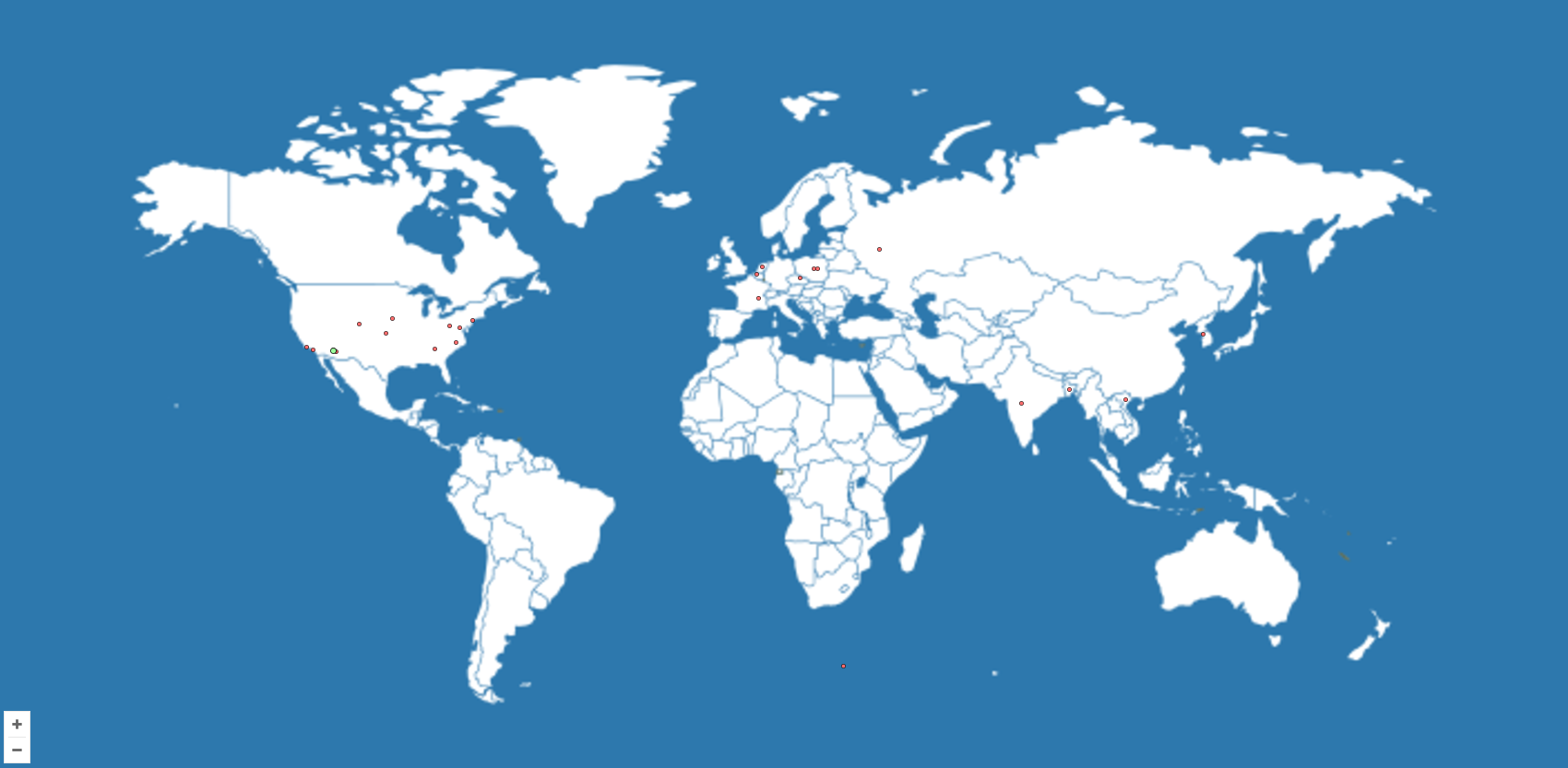
Website Visitors Map
About Greg Loucks
Greg Loucks is a writer, poet, filmmaker, musician, and graphic designer, as well as a creative visionary and faith-driven storyteller working at the intersection of language, meaning, and human connection. Born and raised in Phoenix, Arizona, he has lived in Cincinnati, Ohio; Hot Springs, Arkansas; Williams, Arizona; and Flagstaff, Arizona—each place shaping his perspective, resilience, and creative voice.

Address:
United States of America and Europe
Phone Numbers:
Arizona: (928) 563-GREG (4734)
Tennessee: (615) 899-GREG (4734)
Toll-Free: 888-457-GREG (4734)
